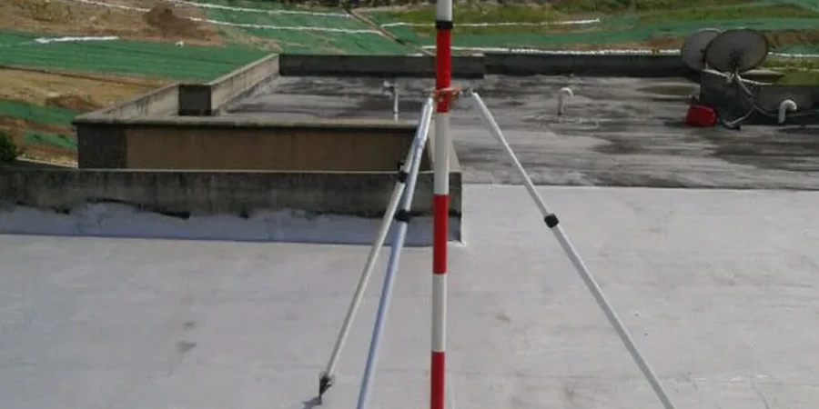
The Liffey Valley around Celbridge hides a complex glacial legacy beneath its green pastures. You start digging and within two metres the ground switches from stiff brown boulder clay to pockets of water-bearing sand and gravel, a profile typical of the Esker Riada corridor. We have monitored excavations across the North Kildare commuter belt where the same till layer that looks competent on a borehole log starts creeping after a wet weekend. Our monitoring approach in Celbridge combines automated total stations with manual inclinometer arrays to catch movement before it becomes a problem, because when you are working next to a 19th-century stone boundary wall or within the conservation area off Main Street, tolerance is measured in millimetres, not centimetres. Early baseline readings allow us to separate natural seasonal drift from actual ground displacement, and the S-wave velocity profiling lets us correlate surface movement with stiffness at depth before the dig ever starts.
A retaining wall in Celbridge till can move 8 mm before you see a crack in the pavement behind it — monitoring catches the first 2 mm.